What Sellers Should Know About Pawleys Island Elevation Certificates
August 13, 2026
August 13, 2026
Somewhere in the first week of due diligence on a Pawleys Island contract, a buyer's agent will ask the seller for one specific document: the elevation certificate. Not the survey. Not the flood zone letter. The certificate that shows, in feet and inches, how high the lowest structural member of the house sits above the base flood elevation.
If the seller has one, the closing moves. If they don't, the timeline stretches by a week or two while a licensed surveyor gets scheduled, and the buyer's insurance quote sits in limbo until the number comes back.
Here's the part that surprises people moving in from other markets: on Pawleys Island, almost every property already carries the same flood zone letter. The Town's own floodplain page states plainly that property within town limits sits in Flood Zones AE or VE, both classified as high-risk. So the zone letter that usually tells a buyer how worried to be tells a Pawleys Island buyer almost nothing, because everyone is starting from the same high-risk designation. The number that actually separates one property's insurance bill from another's is the elevation certificate. That's the real story here, and it's one most flood-insurance explainers built for the whole Grand Strand miss because they're written at a level too general to catch it.
Flood insurance in a place like this has never been priced off the zone letter alone, even if it looks that way from the outside. Elevation relative to base flood elevation is the dominant factor once you're inside an AE or VE zone, and the swing is not small. A home elevated two feet above base flood elevation can carry a flood premium 30 to 50 percent lower than a home built right at that line. That's the difference between two houses on the same street, both marked AE, with radically different annual costs.
FEMA's own pricing model backs this up. Since the shift to Risk Rating 2.0, individual policies are increasingly priced on actual elevation and distance to the nearest water source rather than the flood zone map alone. The federal system caught up to what local insurance agents already knew: the zone tells you the neighborhood you're in, the elevation certificate tells you the actual bill.
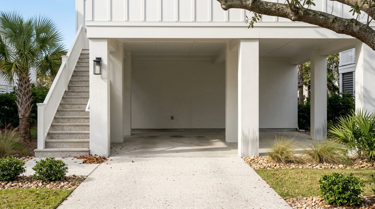
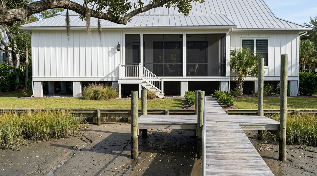
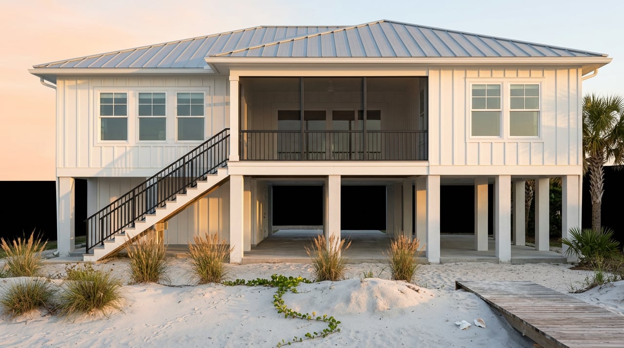
Pawleys Island doesn't stop at the federal minimum either. The Town enforces V Zone construction standards everywhere within its limits, including in A Zones where FEMA's baseline rules would normally be less strict. That means new construction and any substantial improvement must elevate the lowest horizontal structural member to at least three feet above the base flood elevation shown on the flood insurance rate map, not the one foot of freeboard many buyers are used to seeing in other coastal towns. Wall sections and foundations in V Zones also have to be engineered and sealed by a South Carolina registered professional, with breakaway wall construction and scour depth specified in the plans.
Practically, this means a newer or recently rebuilt Pawleys Island home is often sitting well above the point where flood premiums start climbing steeply, before an insurance agent even runs a quote. The construction code did some of the pricing work in advance.
Your property within the Town of Pawleys Island is located in Flood Zones AE or VE, which are high-risk areas. You have a 26 percent chance of being flooded during a 30-year mortgage. Compare this to your 4 percent chance of having a fire during that time.
That comparison comes directly from the Town's own National Flood Insurance Program page, and it's a useful gut check for anyone assuming flood risk here is a background concern rather than the central one.
The construction standard only protects you if the house was actually built to it, or built after the standard existed. Pawleys Island has its own repetitive-loss history, and the Town has published exactly where those losses cluster.
| Repetitive-loss cluster | Properties with multiple claims | Correctly elevated at time of second claim |
|---|---|---|
| North end, along Atlantic Avenue | 25 | 5 |
| South end, from Springs Avenue to the island's southern tip, including the Birds Nest section | 46 | 7 |
Those numbers are worth sitting with. In the north-end cluster, only 5 of 25 repeat-claim properties were correctly elevated to or above base flood elevation by the time of their second claim. On the south end, it's 7 of 46. This is the gap between what the flood map says about a neighborhood and what actually happened to the houses in it. A home in either of these areas can carry the exact same AE or VE label as a newer, properly elevated home a few streets over, while facing a materially different insurance reality once the elevation certificate is pulled.
The center of the island, by contrast, has largely avoided this pattern, aside from damage tied to the pier destroyed in Hurricane Hugo. That's not a reason to skip the certificate on a center-island property. It's a reason the certificate matters everywhere here, because the zone letter simply won't tell you which category a given house falls into.
There's a second number working in the background that has nothing to do with any individual house. The Town of Pawleys Island holds a Community Rating System Class 5 designation, which earns every property owner in town a 25 percent discount on local flood insurance premiums, layered on top of whatever an individual elevation certificate produces. That discount exists because the Town's floodplain management activities, including the same construction standards and repetitive-loss tracking described above, meet criteria FEMA rewards at the community level.
This is the piece worth understanding before a seller or buyer assumes the certificate is the only thing at play. The CRS discount applies regardless of a single home's elevation. The elevation certificate then determines the individual rate on top of that baseline discount. The two stack. Neither substitutes for the other, and a buyer who only asks about one is leaving part of the picture out.
If you have an accepted offer or an active listing right now, the sequence matters more than any single number.
None of this replaces a conversation with a licensed insurance agent who can pull an actual quote for a specific address. But knowing which document drives the number, and why the flood zone letter alone won't tell you much on this particular island, changes how a buyer or seller should spend their due diligence window.
Can I reuse the seller's existing elevation certificate? Often, yes, as long as the structure hasn't changed and the flood zone designation on the property hasn't been updated since the certificate was issued. If either has changed, order a new one.
Does the CRS discount mean I don't need to worry about elevation? No. The 25 percent discount applies community-wide regardless of any single home's elevation. Your individual rate still depends on how your house measures up against base flood elevation, which only the certificate shows.
My listing shows Zone AE, same as every other listing I've looked at here. Doesn't that mean the risk is the same? Not necessarily. Because nearly the entire town sits in Zone AE or VE, the zone letter can't distinguish between a well-elevated newer home and an older one in a documented repetitive-loss corridor. The elevation certificate is what actually separates the two.
If you're preparing to list a Pawleys Island home or you're deep in due diligence on one right now, start the conversation with your elevation history, not just your zone letter. Dan Benish works this market daily and can walk you through what your certificate actually means for your numbers. Get Your Home Valuation and let's find out where your property really stands.
Stay up to date on the latest real estate trends.


Contact Dan today to learn more about his unique approach to real estate and how he can help you get the results you deserve.

100 Greenway Blvd Murrells Inlet, SC 29576